
Chasing Waterfalls
A trip to Shasta

My “knowledge” of California’s volcanoes is mostly confined to the 1997 Tommy Lee Jones masterpiece Volcano, during which hot magma goes through the Los Angeles subway tubes. It’s great PR for the existence of a subway in LA but not a great science lesson on volcanoes.
Turns out our state’s volcanic activity isn’t on Wilshire Boulevard but in the far North of the state, in Shasta and Lassen counties. Lassen Volcanic National Park features all four types of volcanoes (which is apparently unusual!) and has the bubbling mud pots and hot springs typical of an area with a lot of seismic activity.
Last week we headed to Shasta County which is a bit less remote than Lassen, but still part of the Cascade Range that makes up the Pacific Ring of Fire (Mt. St. Helen’s is also a part of the Cascade Range). Mount Shasta hasn’t had a whole lot of activity in modern times (one of its most recent eruptions was about 10,000 years ago and created a part of the mountain known as Shastina which makes me think of Christina Aguilera but as a volcano) but the volcano is by no means dormant and scientists monitor it carefully, especially since almost 200,000 people live in Shasta County.
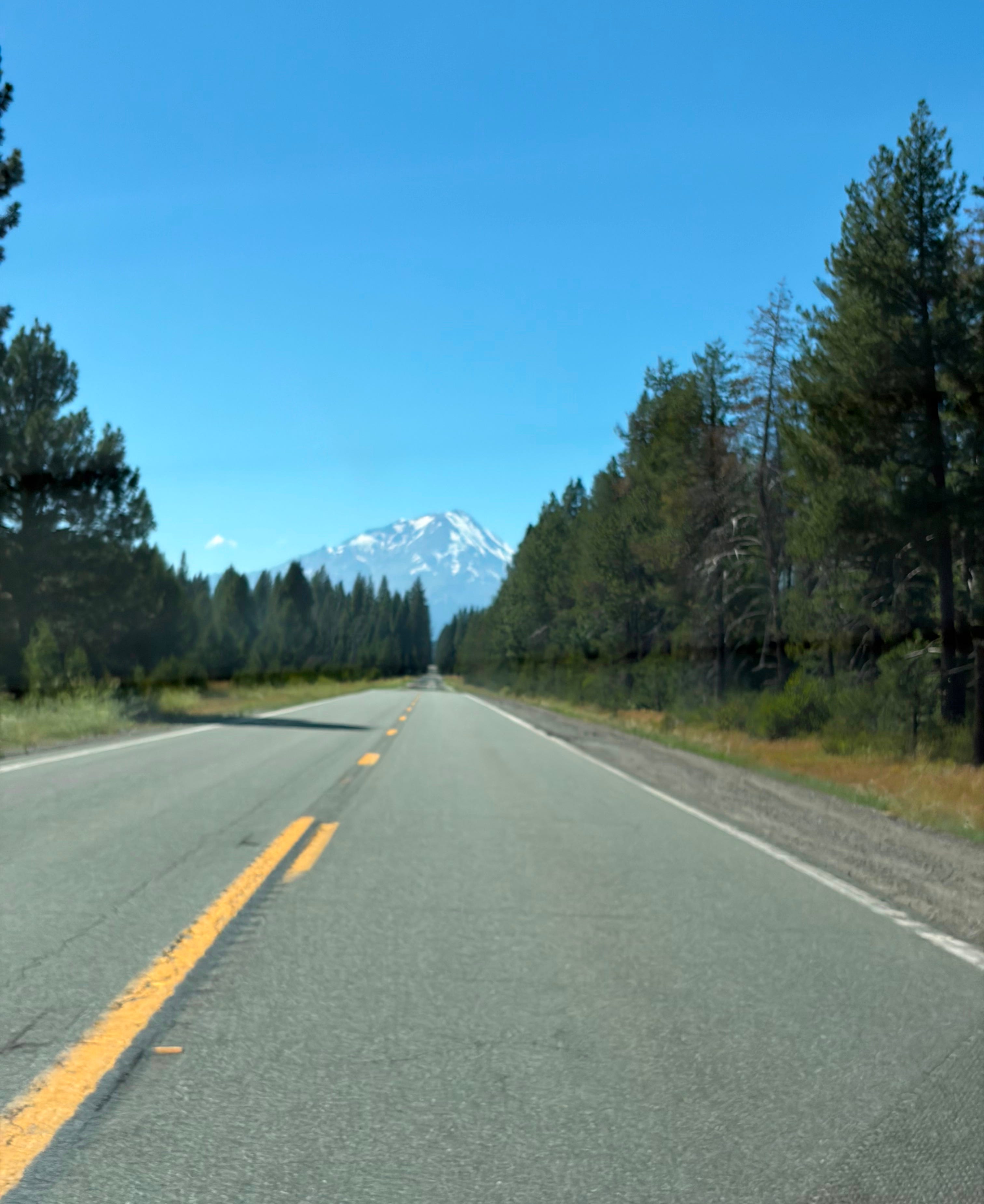
While less remote than Lassen, Shasta is still a five hour drive north from San Francisco. A drive that makes you realize just how vast California is. Europeans realizing the “bigness” of America was one of the fun parts of hosting the World Cup here. Just one of the parks we visited on this trip is bigger than all the national parks of Scotland combined.
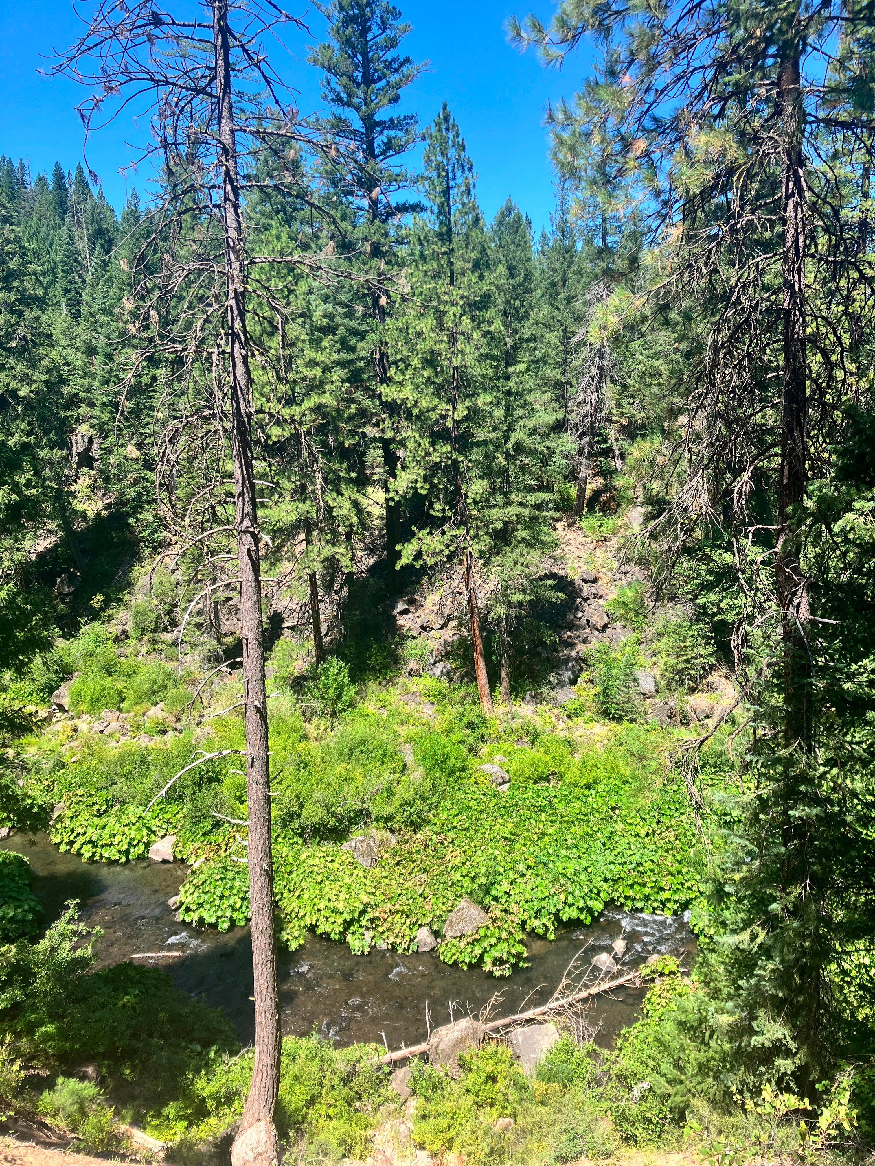
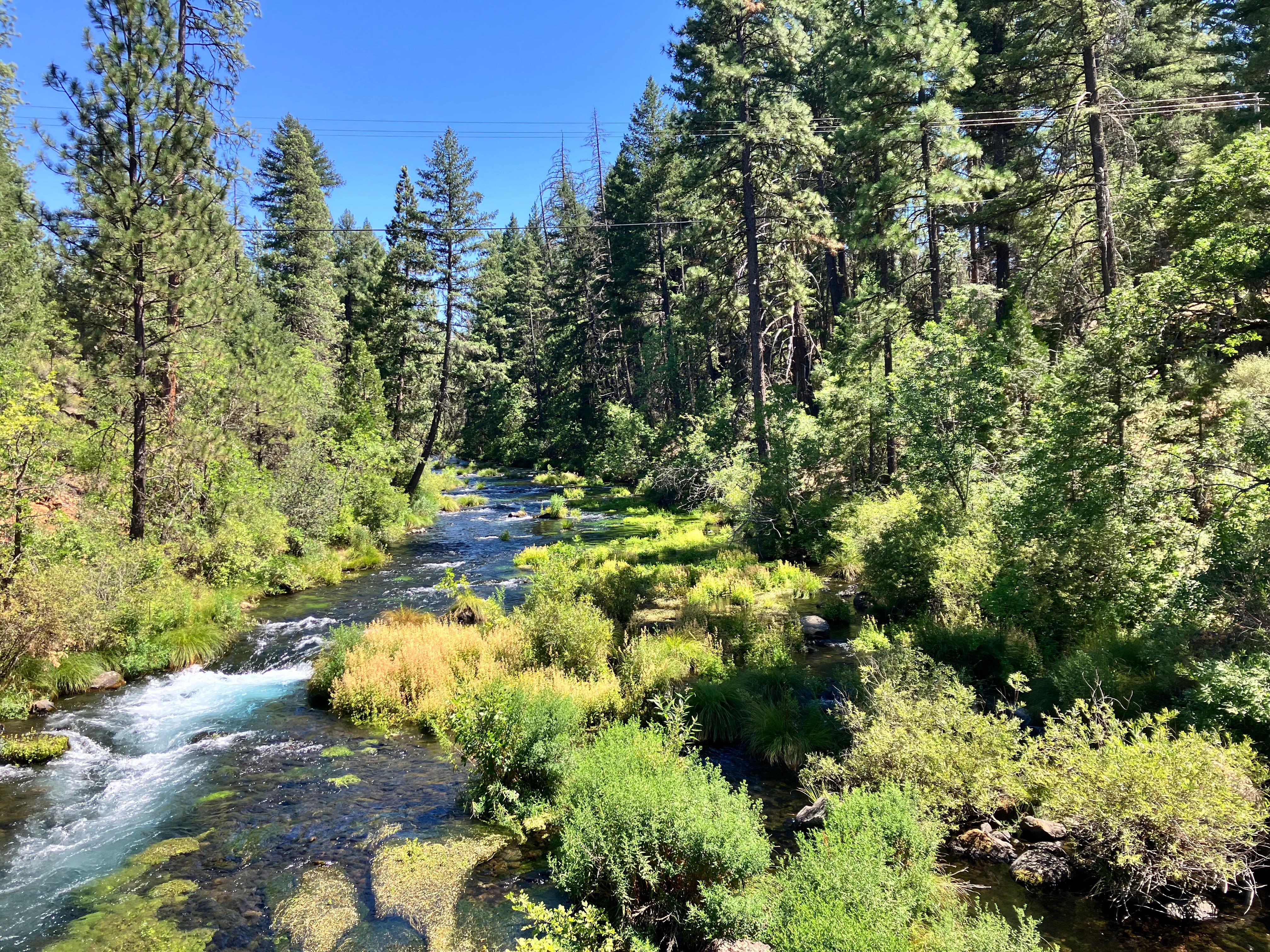
That park was the site of our first walk — the 2.1 million acre Shasta Trinity National Forest. We focused on a tiny slice of it, a series of waterfalls along the McCloud River. After a drive down dirt roads cutting through pine forests, we parked and started hiking on a path along the river.
The air was hot and dry and dusty — that particular piney pungency that I associate with the mountain forests of California. It’s always startling to leave the foggy cold of a San Francisco summer and walk in the heat. I melt easily.
While the forests felt dry, along the river it was surprisingly verdant. Long and luxurious grasses were thriving. An unfamiliar plant with large swoop leaves was abundant. My plant identifier app initially called it liverwort which didn’t make any sense. I’m not a competent botanist by any means, but I saw lots of liverwort in the bogs of Scotland and it’s a tiny little plant, like moss. Were the Europeans right? Is everything bigger in America? Even the liverwort?
I tried using the app again when the path came much closer to the river, and this time the app identified it as an umbrella plant. Maybe it was a problem of perspective — umbrella plant seen from far away kind of looks like liverwort up close.
The path went high over a series of waterfalls, the water startlingly clear, running smooth and fast, even this far into the summer. The water in the upper falls ran through a steep canyon; it was easy to see how water had cut a deep and narrow passage through the rock.
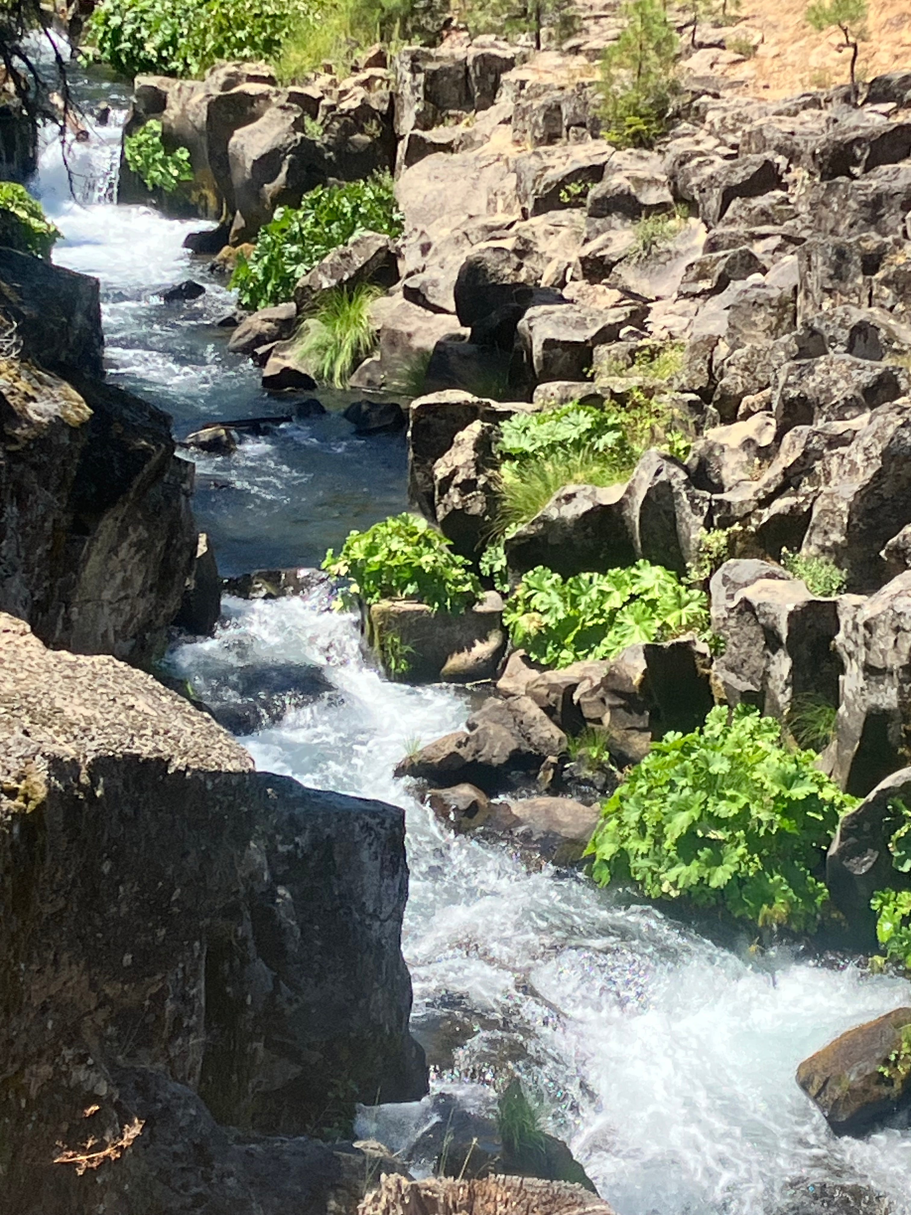
The path cut away from the river for a bit, running against a vertical wall of volcanic rock, porous and rough to the touch. Another bend and we were back along the river, where chipmunks and lizards skittered through the manzanitas and across the path right in front of us. Their boldness was surprising.
After a final waterfall, the river started to spread and slow a bit, tumbling gently over rocks and logs. Further down the valley were little groups of people lounging on chairs on the riverbank and swimming in the shallow pools of water. It was clearly a well-loved spot.


We headed back to our car for the next stop. Mt. Shasta was looming over us wherever we drove in the area. Earlier in the morning, it had a strange collection of clouds - a little fluffy hat in an otherwise brilliantly blue sky day.
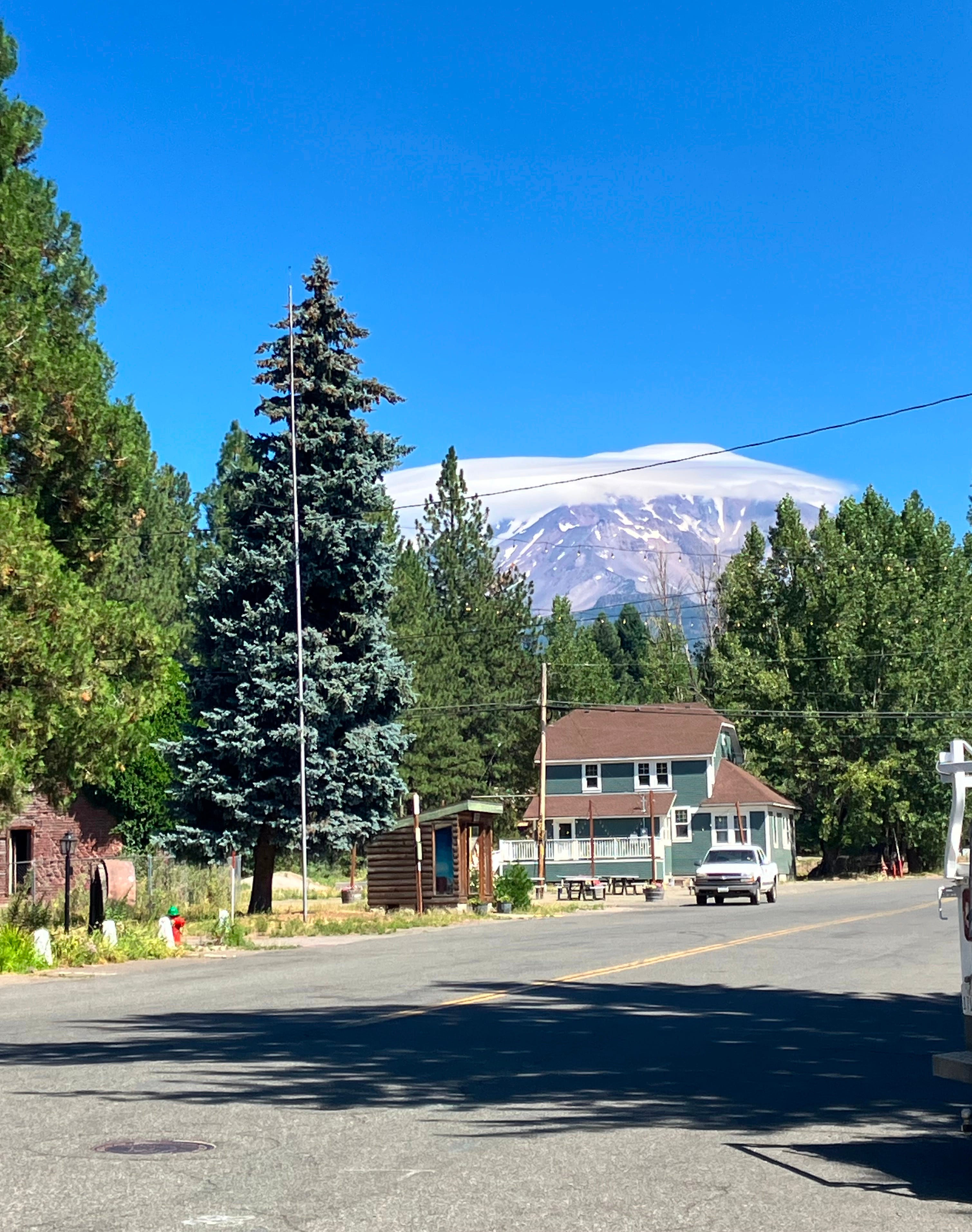
Later, after the clouds drifted off, you could see the snow on the peak.
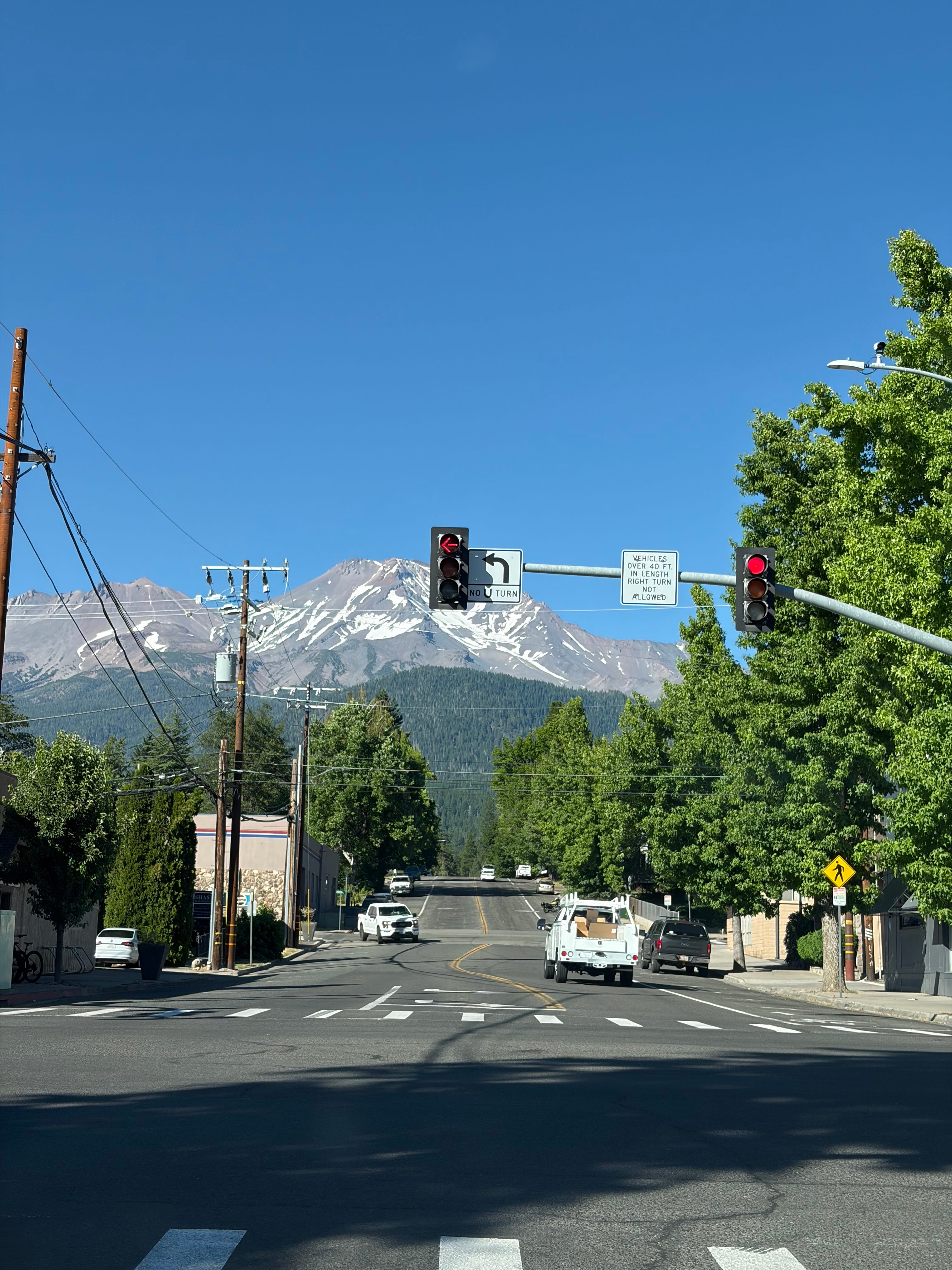
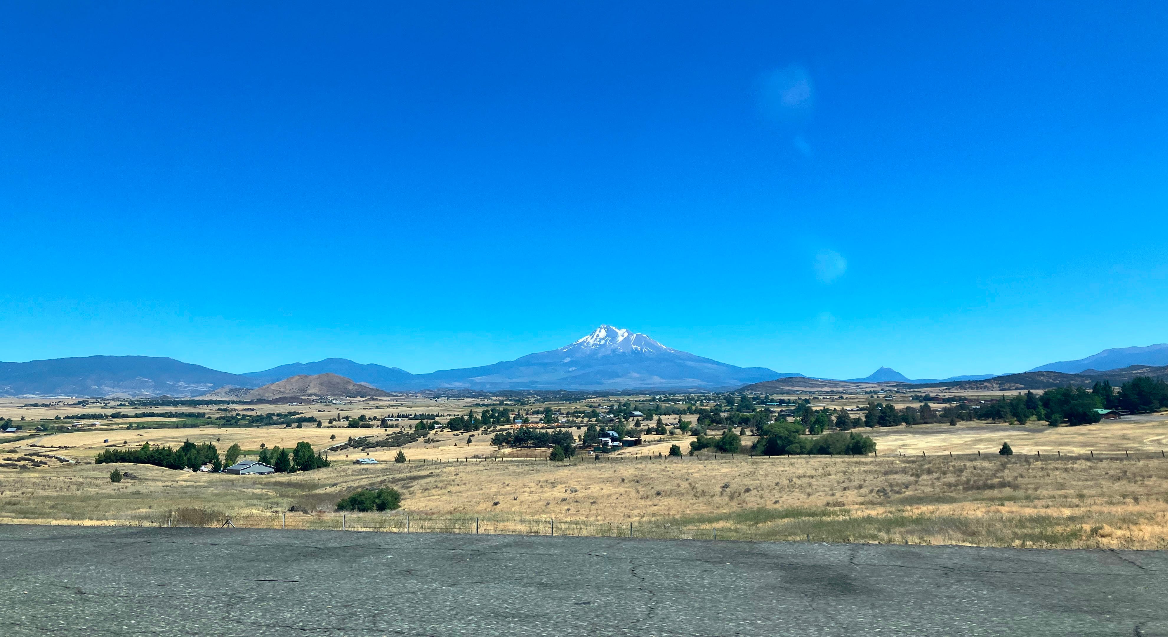
Mt. Shasta is the 5th tallest mountain in California, but what makes it really stand out is its prominence. Prominence is basically a measure of how high a mountain is compared to everything around it, and Mt. Shasta is one of the most prominent mountains in the entire US, which is why it dominates the sky for hundreds of miles.
We pulled up to McArthur-Burney Falls State Memorial Park, a popular resupply spot for hikers on the 2,600 mile Pacific Crest Trail — we saw more than a few weary, dusty, tan hikers enjoying a little slice of modern convenience (running water, ice cream) before heading back into the wilderness.
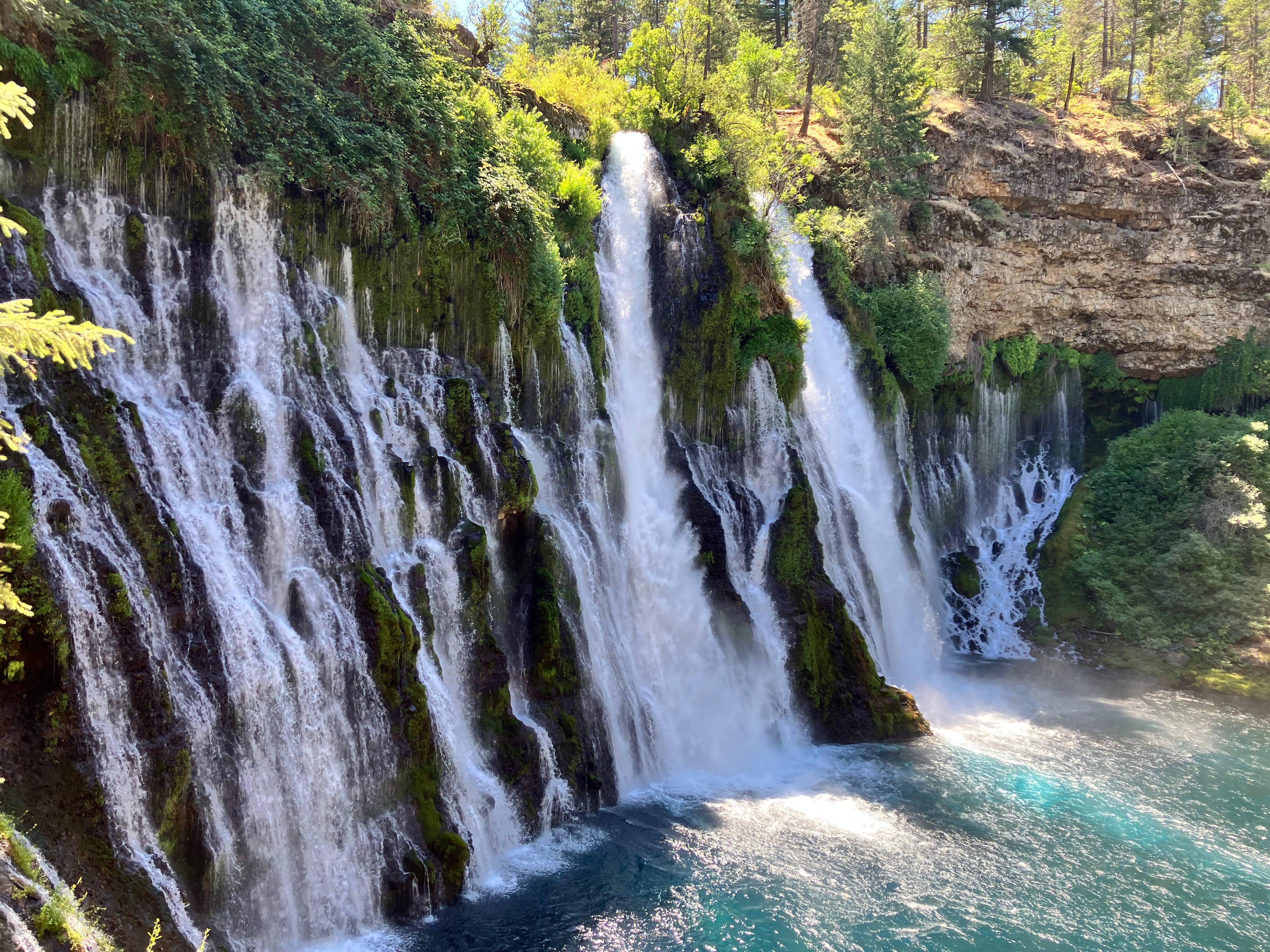
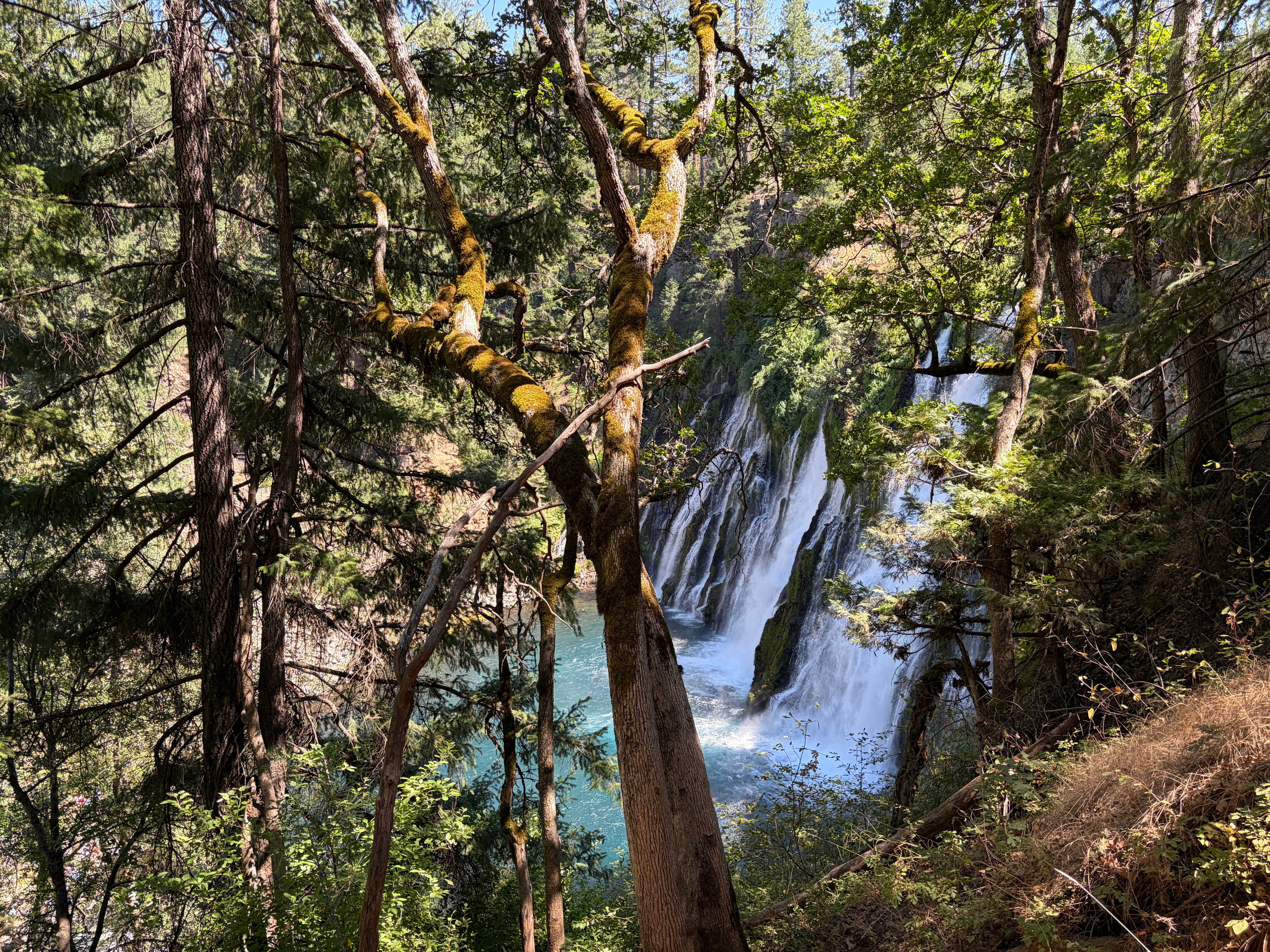
The main attraction of McArthur-Burney Falls State Memorial Park is Burney Falls, a spectacular and strange waterfall. To reach it, we walked down a long and shallow ramp that switchbacked the hill to the base of the falls. The trees along the hill provided a welcome relief from the heat. Occasionally, the wind would blow across the falls just right and we would walk through a pocket of air the felt like someone had just opened a refrigerator door — a delicious and surprising coolness.
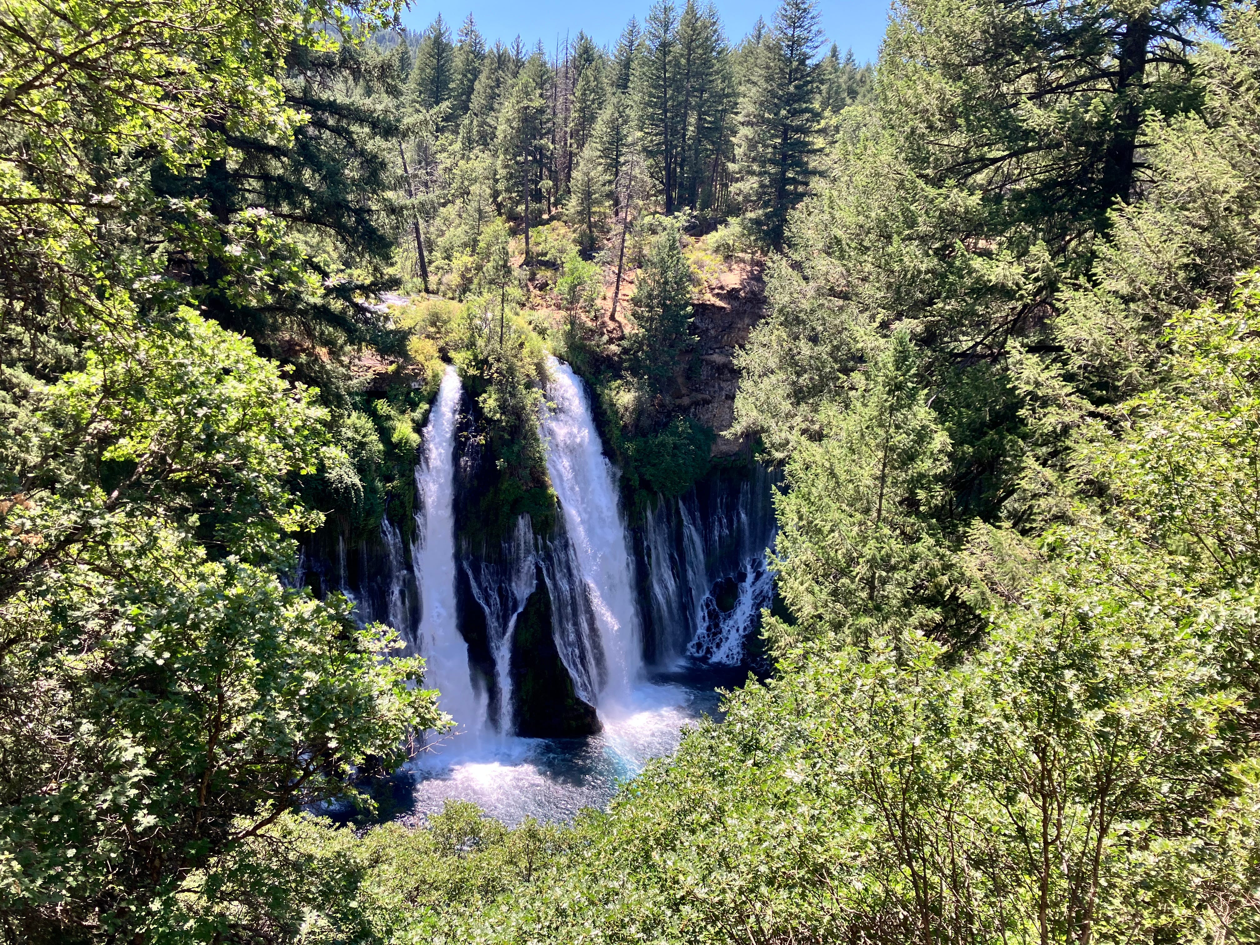
Burney Falls has an interesting and unusual geology — there are two sources of water for the falls. The first is an aquifer 3/4 of a mile upstream from the falls, supplemented by snowmelt in the spring and early summer. Incredibly, later in the summer and fall, the surface-level water dries up and the falls is only fed from the underground aquifer. This water makes its way downstream and over the top of the falls. I imagine at certain times of the year, it looks like a waterfall from nowhere - a magic trick.
There’s a second source of water that comes out of the middle of the cliff face of the waterfall. The face of the waterfall is made up of two layers of rocks. The base layer is old volcanic rock, which used to be the top surface of the valley. Then, between 1 and 2 million years ago, lava flowed through the region, covered the old layer of volcanic rock, and created a second layer of basalt rock - the Burney Basalt. This new permeable rock allowed for rain and snowmelt to seep into the ground easily, but the older layer of rock was impermeable. This means instead of the water continuing to seep into the ground or into aquifers, the water drains out in a series of springs about 2/3 of the way up the face of the waterfall. Right where the old and new volcanic rock meet.
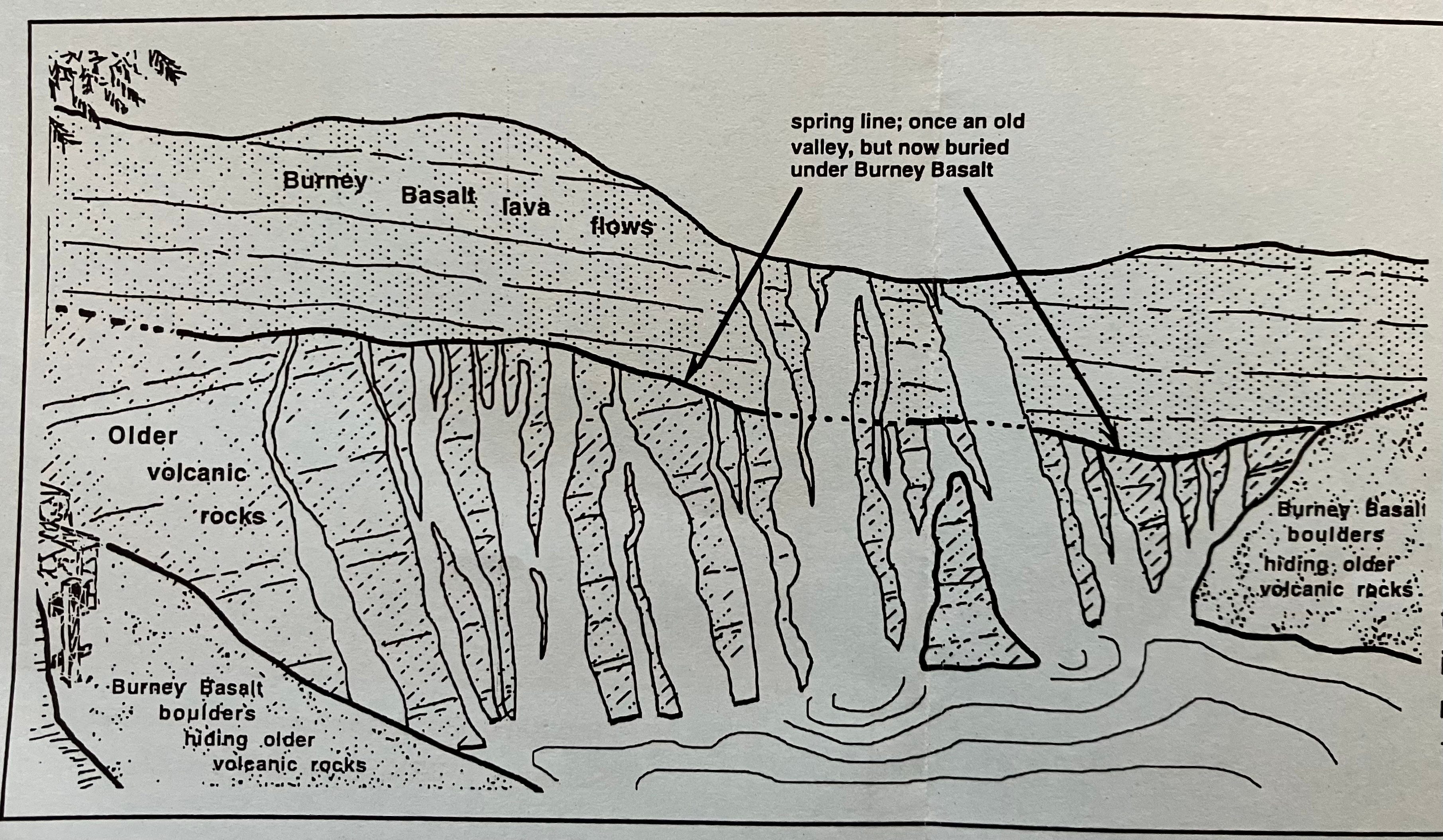
These two different sources of water make it seem like the whole cliff is a waterfall — as if the water is coming from everywhere.
We walked further along the creek, a steep field of lava rocks to the right, crossed a bridge, and started back towards the falls. This path was much rougher than the path on the other side of the river, and much less crowded. The trail became steep as we climbed up and up and over the falls. Finally we reached a long bridge that spanned farther upstream from the falls. The foliage was strange — tall pine trees lined the riverbank and bright green and tan plants grew in abundance. Even the rocks that poked from the water were covered with a short little layer of plants.
These strange and beautiful waterfalls were almost destroyed by the creation of Lake Britton, a reservoir built by PG&E in the early 1900s. PG&E had started buying up land in the area, with a clear intent to dam the Pitt River for hydroelectric power. The dam would’ve created a giant lake, flooding the valley and Burney Falls. The local people were furious at the prospect of these magical falls becoming submerged, so the McArthur brothers bought the land around the falls and donated it to the State of California for the creation of a park, to be named after their parents. The dam eventually was built and Lake Britton created, but further down the valley.
McArthur-Burney Falls State Memorial Park became the second state park in California. Thanks to the McArthurs, we now get to enjoy what Teddy Roosevelt called the “eighth wonder of the world” today.
Now I want to go. Very cool spot.
Wonderful descriptions! I especially loved the discussion about liverwort and umbrella plants. 😊 Beautiful photos. How long was this hike?